Civil Design Suite Plug-in
R6,599.00
Design and Analysis Tools for Civil Engineers
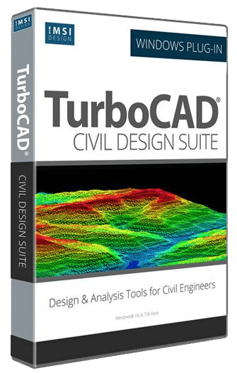
Civil Design Suite is a Plug-In that enhances your TurboCAD Software (Deluxe, Pro or Platinum versions) with tools for road design and analysis, surveying and data collection, construction documentation, map production, storm and sanitary analysis and much more.
Now Available!
KEY FEATURES
Civil Design
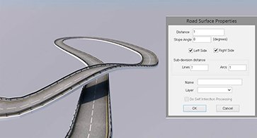
- Corridor design – Road corridor creation based on a center line and cross section template
- Grading
- Parcel design
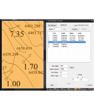
- Road Design and Analysis
- Design concepts
Civil Drafting
- Construction documentation
- Map production
Survey & Data Collection
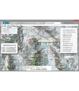
- Data access
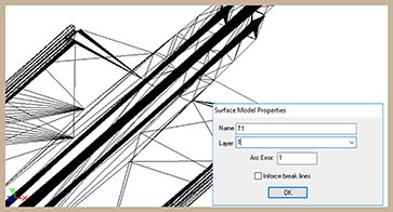
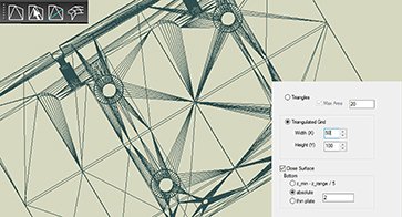
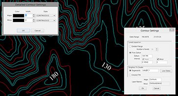
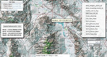
- Surface modeling
- Base map creation
Visualization & Analysis
- Storm and sanitary analysis
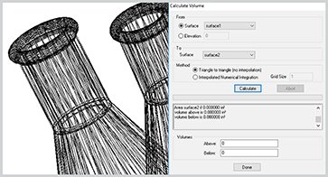
- Model analysis
Interoperabiltiy
- CAD, Surfaces, Image and Other Import – ASCII, BIL, DDF, DEM, DWG, DXF,E00, MicroStation DGN, IFC
- Shape File Import – ESRI Shape data – SHP, DBF, SHX, E00
SYSTEM REQUIREMENTS
TurboCAD® Platinum, Pro, or Deluxe 2025. Microsoft Windows 11, Windows 10, Windows 8 (64-bit). 8+ GB RAM. 1 Gigahertz (GHz) or faster CPU.

